Update: check out the main official report of the TEMBR at bikepacking.com for GPX and a rather more elegant description of the route compiled by Cass.
Guamote to Cuenca via Achupallas and Ingapirca.
For most of this section I continued to follow the most excellent TEMBR that I had been testing out. Aside from the usual monster roller coaster ups and downs through canyons and paramo, it included a deviation from the route to explore an old abandoned railway line that passes through a significant part of the country. It runs from Quito to Cuenca and was damaged in a flood in 1993(?) caused by a landslide. After that it was left unused and has been mostly swallowed up by nature, roads and people’s property; 20 years or so later only remnants remain.
To adhere to the requirements of safe train travel, the railway line was designed to be below a certain gradient at all times. This results in endless zig zagging to accommodate small elevation changes on steep terrain. Factoring in mud, hauling (and crawling) my bike through vegetation and being slowed down by barking dogs this was undoubtedly the long way round. It also required enduring a few understandably strange looks from homeowners whilst I staggered through their backyards. In the end, it turned out to be quite a fun little ‘treasure hunt’.
This is how it panned out:

Heading up to the paramo after leaving Guamote

And then down again. Shortly after this photo I fall awkwardly whilst simultaneously trying to film and use my left brake. The result is a broken saddle. Not ideal.
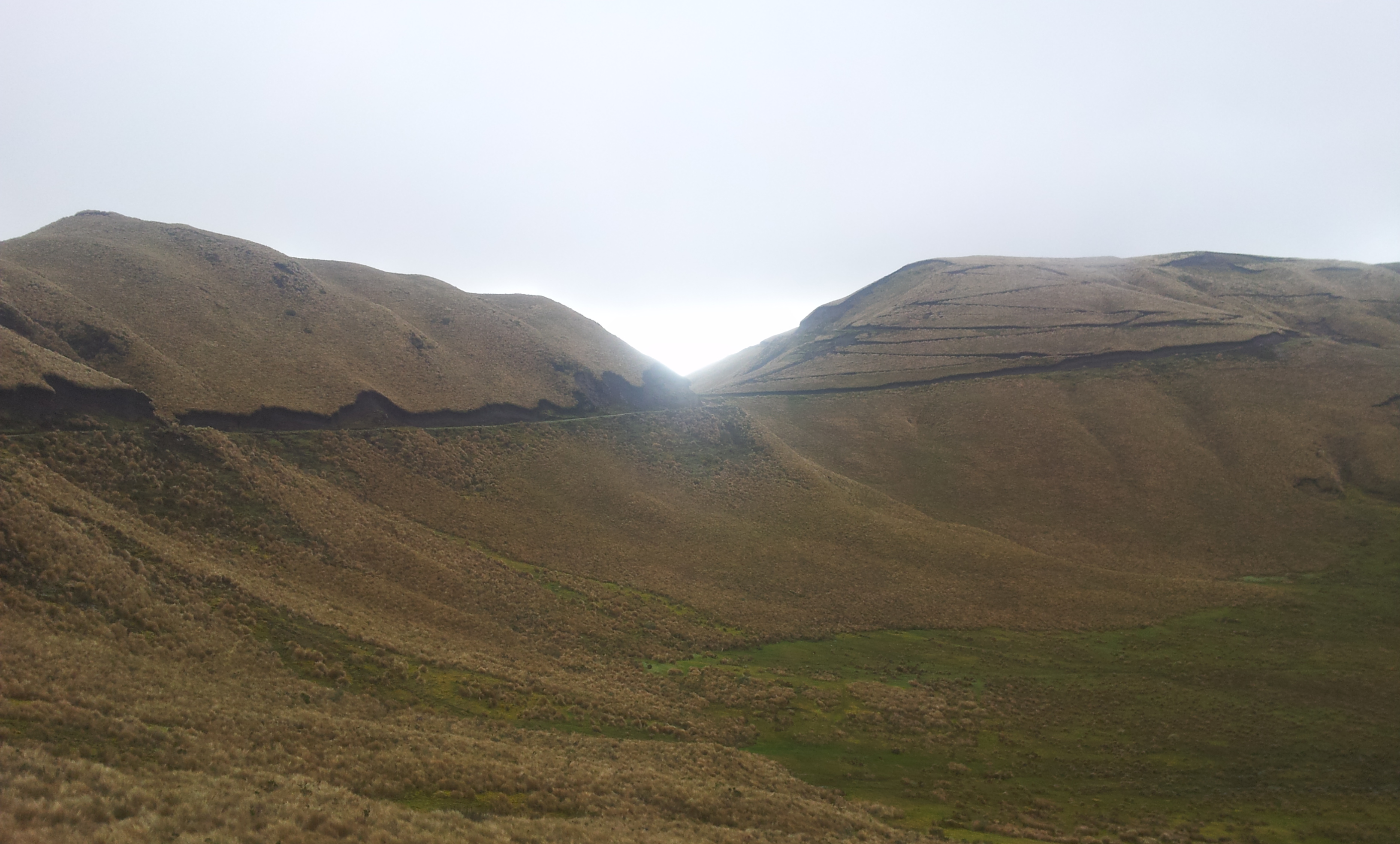

Another big climb alongside a vast canyon. One of the main mind blowing themes of the TEMBR that rarely fails to astound me


Although there is an old scenic Inca trail from Achupallas to Ingapirca it is said to be mostly unrideable. I opt for the paved…
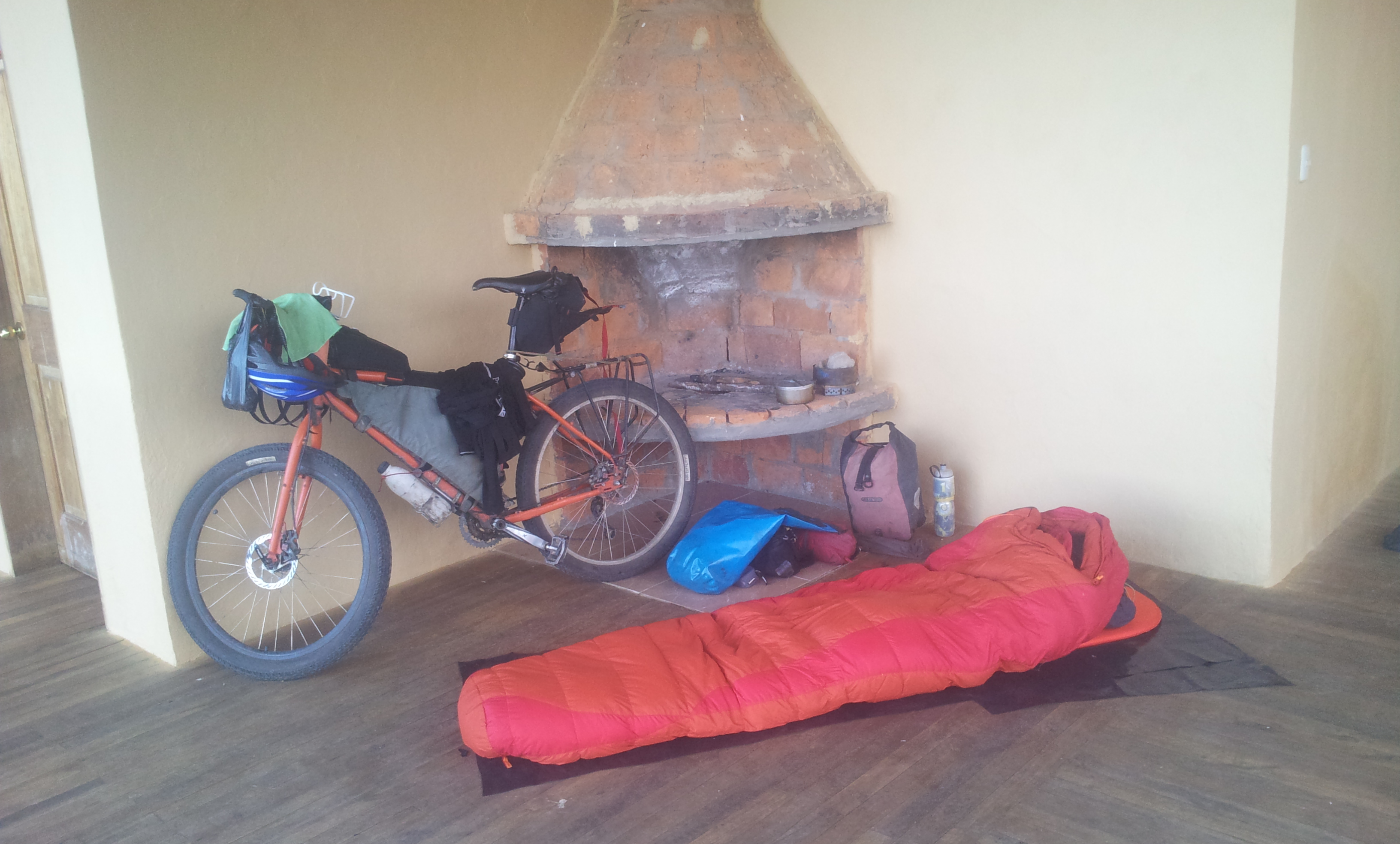
Sleeping on the balcony for $2 at a hostel in Sisid near the famous Ingapirca ruins. Probably not one of their most common requests.

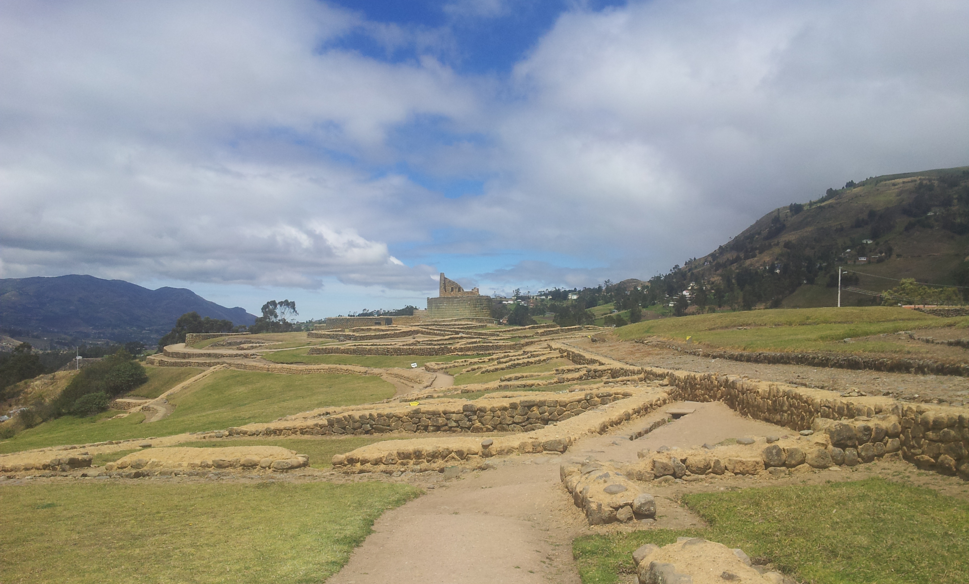
Ingapirca ruins. Ecuador’s equivalent to Machu Picchu, some say… Possibly a little ambitious.

Another two wheeled traveller
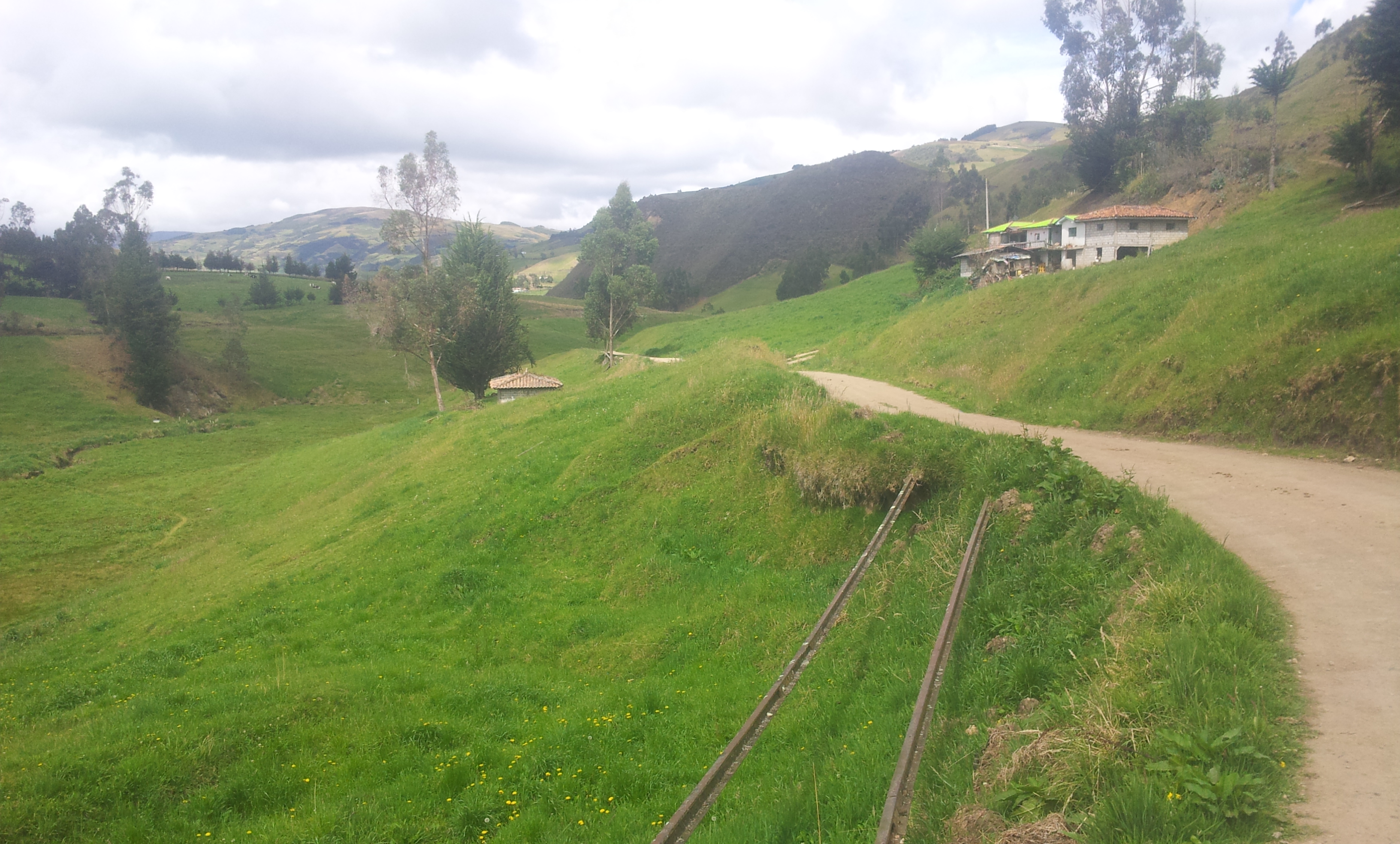
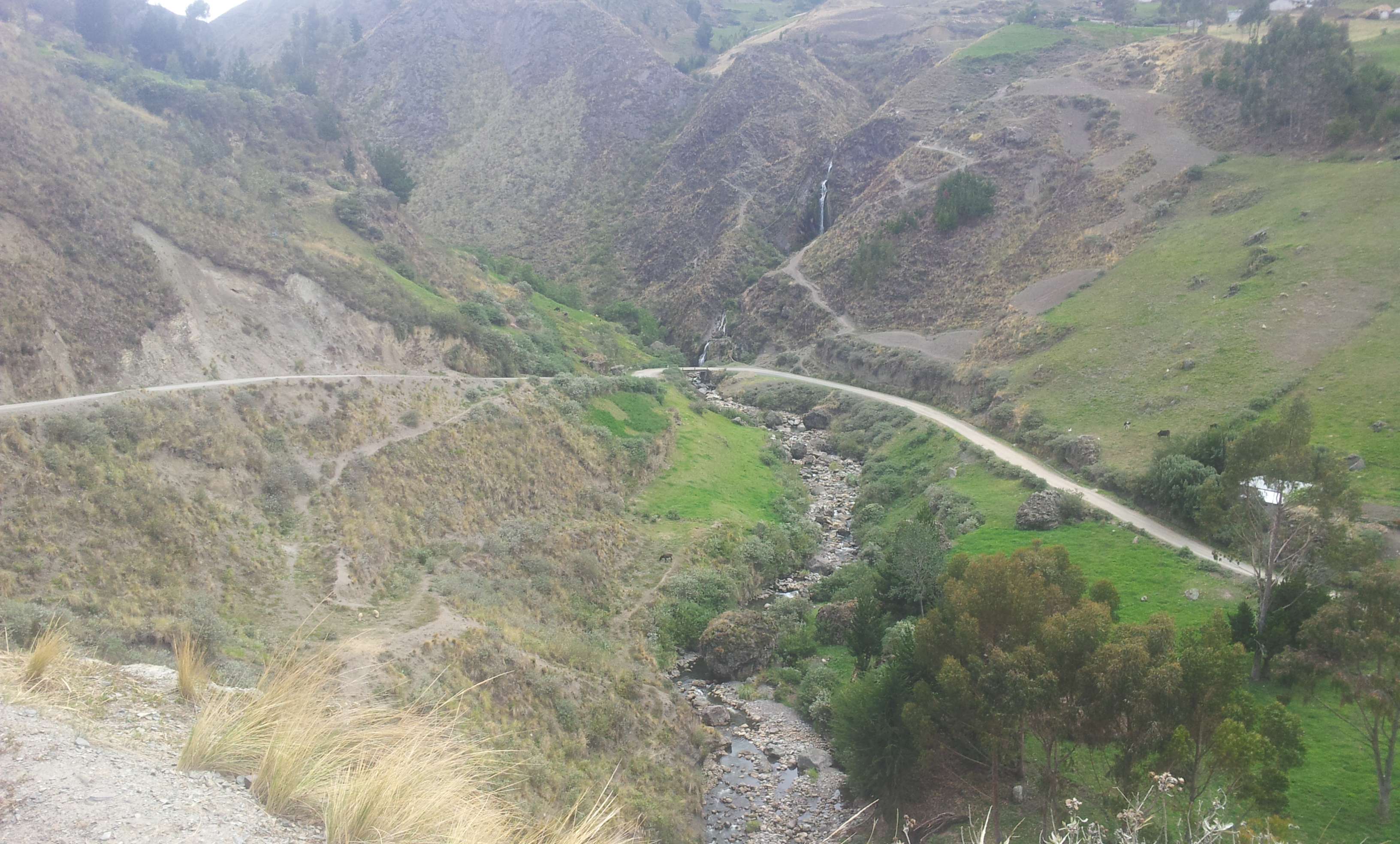
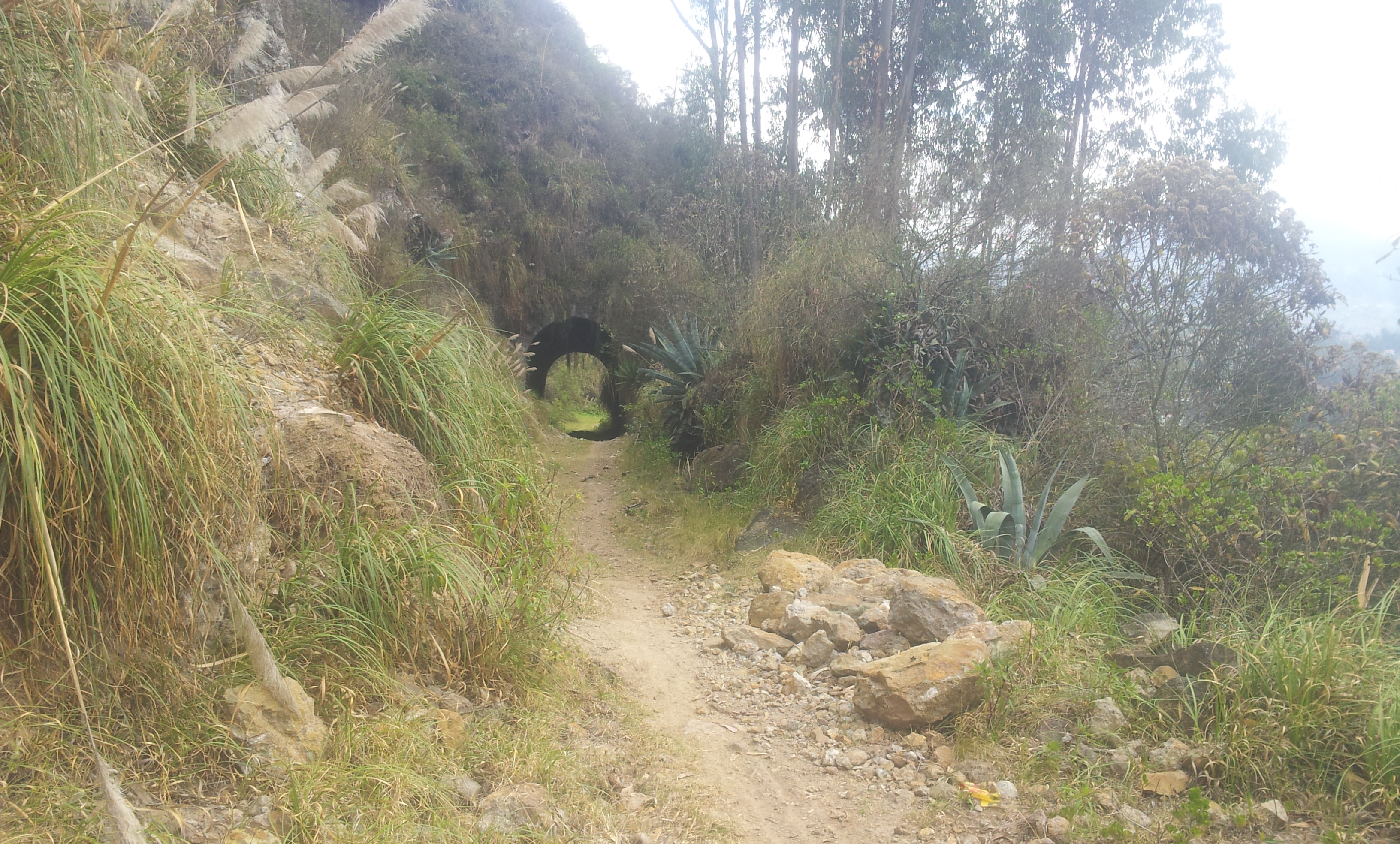
I then begin to explore the possibility of a route along an old abandoned railway line from Ingapirca to Cuenca

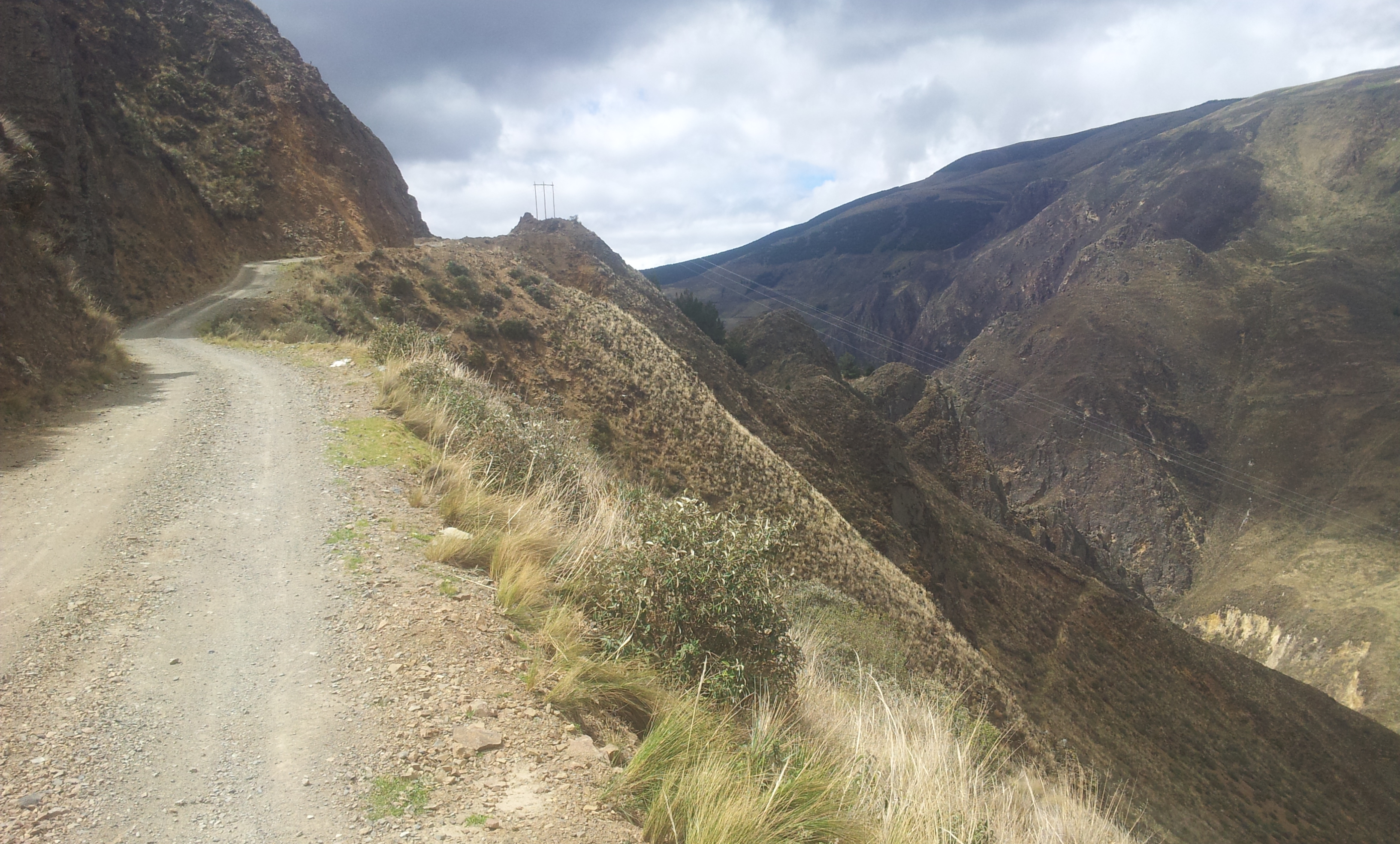
It turns into a ‘treasure hunt’ searching the rails that continuously disappear and re-appear beneath the ground. Some parts are easy and fun to ride…

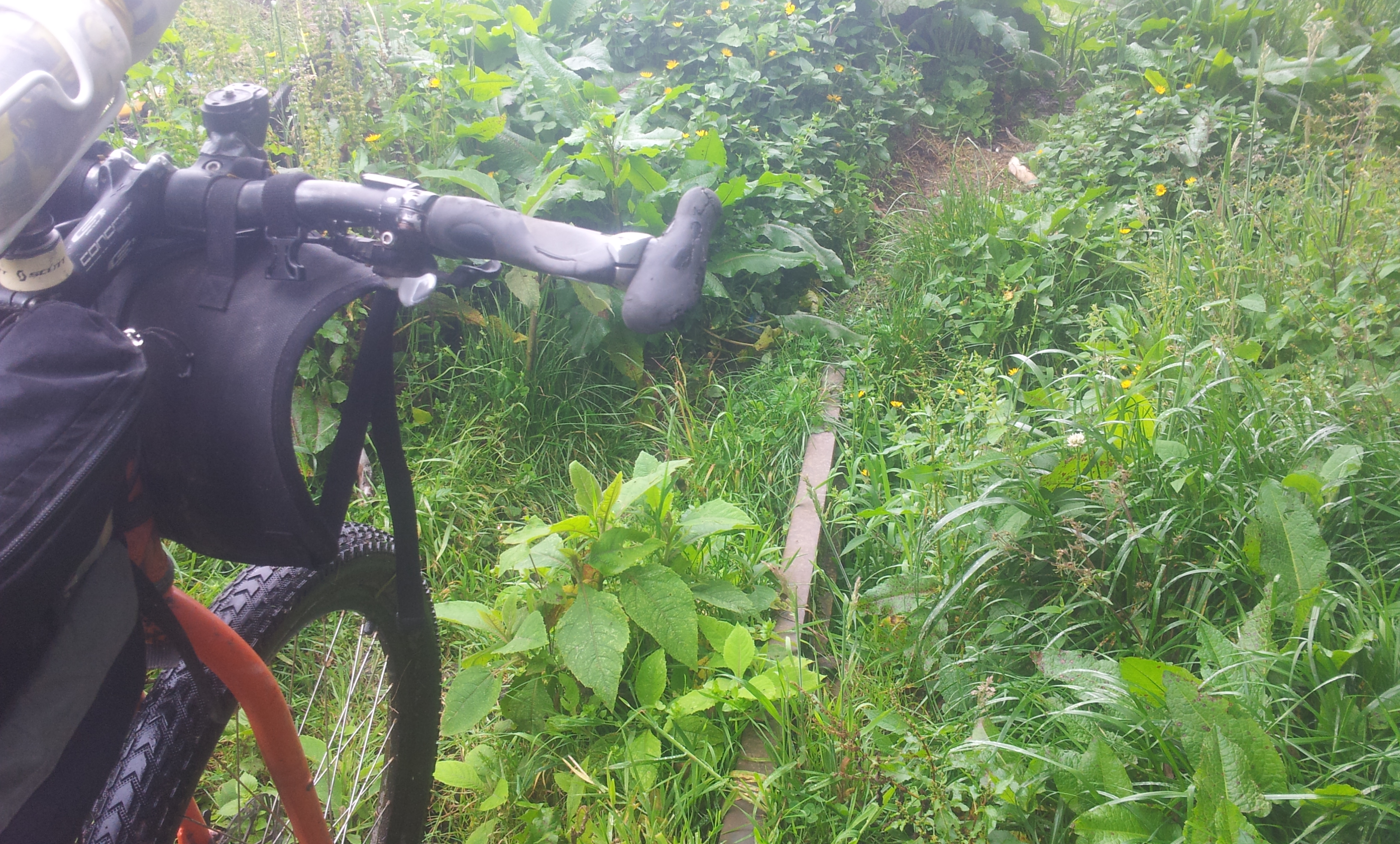
…other parts are hard to ride…
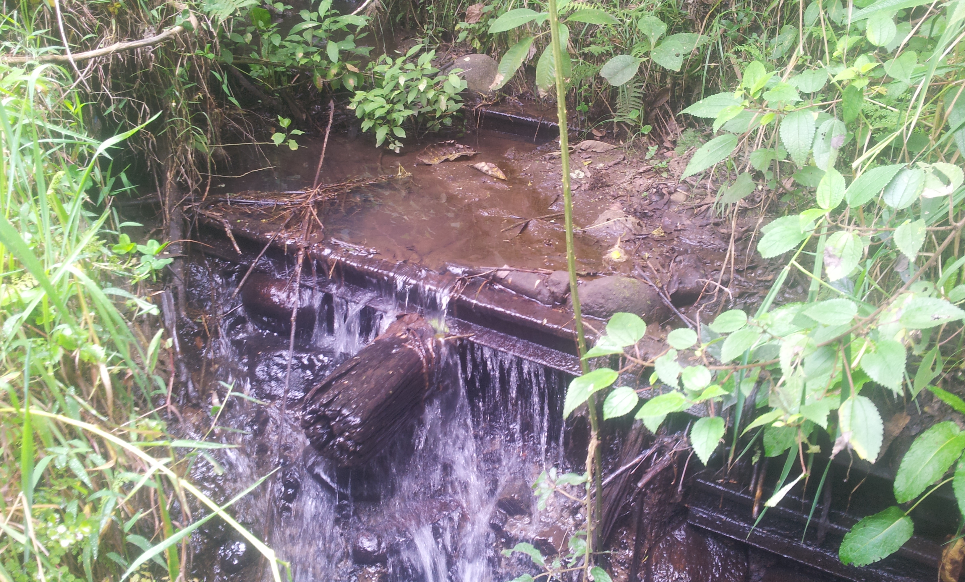
…and the rest is impossible


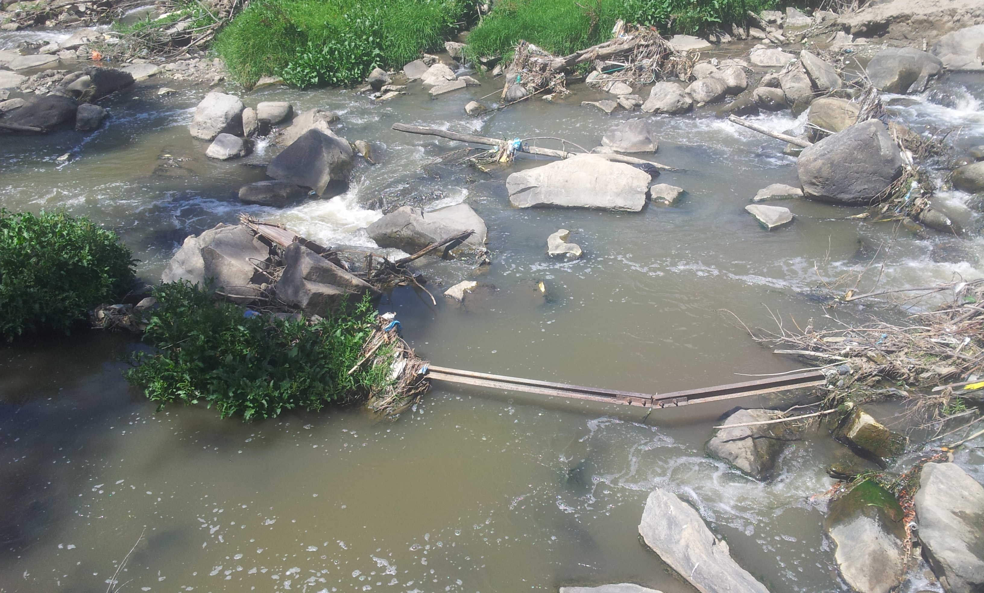
Various landslides over the years have claimed a large part of the railway line
Ummm…


Nice
This particular section is unlikely to ever feature on the final TEMBR route!
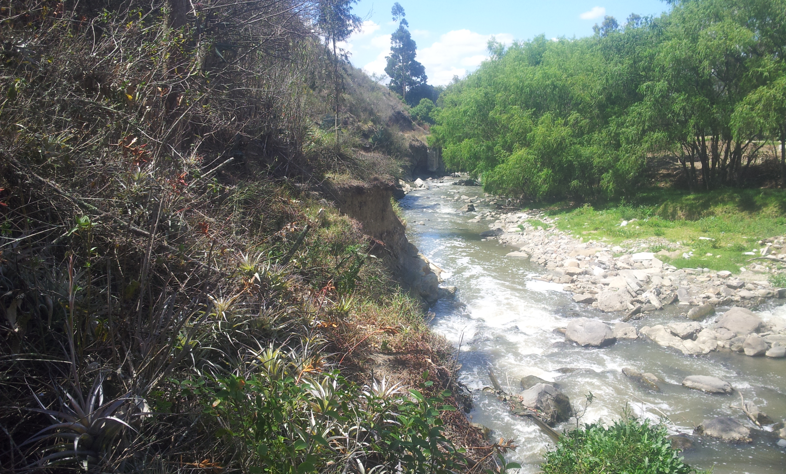
Here the old railway line has mostly fallen into the river and is too treacherous to follow
Eventually the railway route becomes impossible to follow on the outskirts of Cuenca as it passes into private property. It then re-emerges near a nice bike path that follows the main river leading you into the centre of town.
In Cuenca, I begin to think about delaying the trip south knowing that my current rate would mean cycling through Peru in the middle of the rainy season between January and April. I decide to focus instead on climbing Ecuador’s highest peaks and visiting the touristy yet impressive Galapagos islands. The next posts tell that story.
Update: check out the main official report of the TEMBR at bikepacking.com for GPXs and a rather more elegant description of the route compiled by Cass.


Hey Nick! Another great report. Am awed by the nature you captured in your photos and amazed at your determination and persistence as well as you always seeing “The glass half full”. Galapagos you say- am more than jealous as a dream I never got to realize so am looking forward to your report in the future. Thanks for my “armchair” sightseeing again…. By the way Alberta had snowstorm Sunday May 21! We just felt the cold here in Regina Saskatchewan with a rainy week!…. Take care…Adele
Just read ‘The Ghost Road’ about a WWII supply route hacked through the Burmese jungle by the Americans – with some local help. You are very much in the same vein, well done.